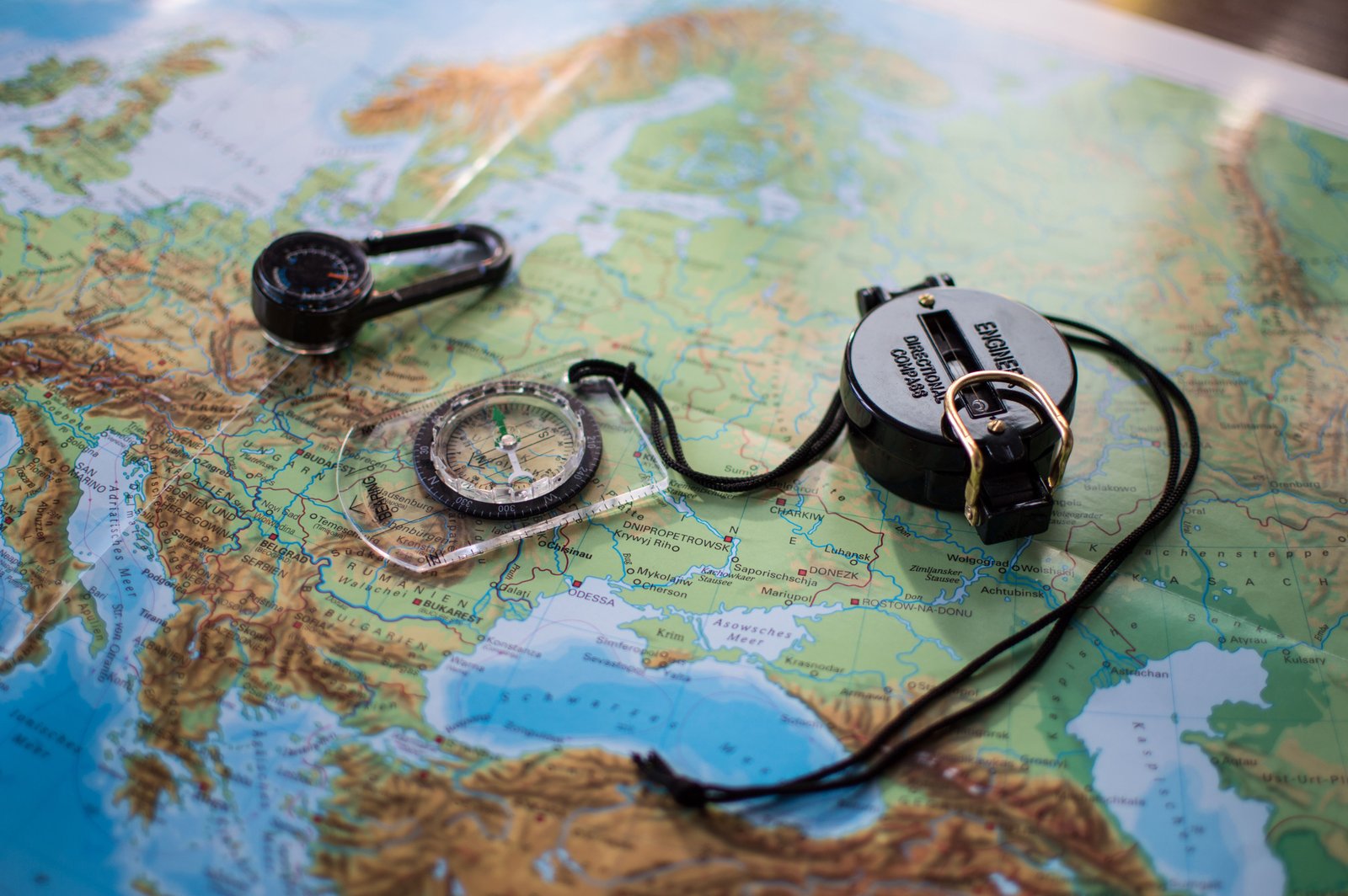
In an era where GPS and high-tech smartphone apps dominate the trail, the humble topographic map often gets left at the bottom of the pack—or worse, left at home. While digital tools are incredibly convenient, they are not infallible. Batteries die, screens shatter, and satellite signals vanish in deep canyons or under heavy tree cover. Knowing how to read a topographic map is a fundamental skill that every hiker, from the weekend warrior to the seasoned thru-hiker, should master.
Author’s Personal Story: I once spent three hours lost in a dense fog in the Cascades because my phone’s GPS couldn’t find a signal and my battery hit 5%. Since that day, I never step onto a trail without a physical map and the knowledge to use it. It’s not just about “old school” vs “new school”—it’s about survival.
What Makes a Topographic Map Different?
Unlike a standard road map, a topographic (or “topo”) map represents the three-dimensional landscape on a two-dimensional surface. It doesn’t just show you where the trails are; it shows you the shape of the land itself. By understanding contour lines, you can visualize peaks, valleys, ridges, and cliffs before you ever set foot on the trail.
Understanding Contour Lines
Contour lines are the most critical feature of a topo map. Each line represents a specific elevation. Here is how to interpret them:
- Spacing: When lines are close together, the terrain is steep. When they are far apart, the land is relatively flat.
- Index Contours: Every fifth line is usually thicker and labeled with the elevation. These help you quickly calculate your altitude.
- V-Shapes: When contour lines cross a stream or valley, they form a “V” shape that points uphill toward higher ground.
Why Your Phone Isn’t Enough
Smartphone apps like AllTrails or Gaia GPS are fantastic for real-time tracking, but relying solely on them is a dangerous gamble. Here is why a physical map and compass should always be your primary or backup navigation system:
- Battery Failure: Cold weather, high screen brightness, and constant GPS searching drain batteries rapidly. A paper map never runs out of “juice.”
- Durability: Drop your phone on a rock, and your navigation is gone. A map (especially a waterproof one) can survive the elements.
- Signal Issues: Deep wilderness often lacks the cellular or satellite connectivity required to download or refresh digital maps.
- Situational Awareness: A small phone screen provides a “keyhole” view of your surroundings. A physical map allows you to see the entire landscape, helping you identify distant landmarks for easier orientation.
Conclusion
Mastering the art of map reading transforms you from a follower of a blue dot on a screen into a true navigator. It builds confidence, increases safety, and connects you more deeply with the terrain you are exploring. On your next adventure, keep the phone in your pocket for photos, but keep the topographic map in your hand for the journey.